

Lake Diefenbaker Properties
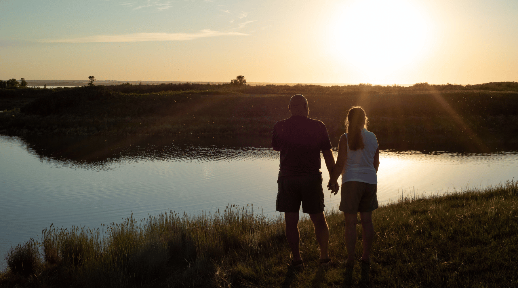
Reconnect with what matters most in your life by securing a Lake Diefenbaker Property.
Sunset Beach at Lake Diefenbaker is only 113 km from Saskatoon, 205 km from Regina, 136 km from Moose Jaw, and 198 km from Swift Current.
Sunset Beach Lots
Sunset Beach offers a variety of lot sizes and types to suit a variety of needs.
Lakefront lots offer spectacular lake views and convenient lake access.
Lakeside lots offer plenty of space for building and playing.
Live at the lake or create your getaway with ample space for 4-season recreation.
Enjoy all the benefits and beauty of lake life with the convenience of nearby city amenities.
It’s the perfect retreat from work for year-round enjoyment.
Resort Features
Spacious, titled, serviced lakefront RV, cabin, park model and lake home properties.
Exceptional flexibility! No building time requirements and investment protection from building specifications registered on each property.
Features include an exclusive boat launch, accessible beach ramp, park and playground, sport court, over 3 km of recreational trails, and more.
Why Lake Diefenbaker?
Lake Diefenbaker is the perfect location for a lake getaway. It has over 580 miles of shoreline, beaches, unlimited water sports, and world-class fishing.
Sunset Beach offers gently sloping terrain, miles of natural sandy beaches, and deep, clear sheltered coulees. This is a great location for kayaks, paddleboards, fishing enthusiasts, and watersport enthusiasts.
The Community
Sunset Beach at Lake Diefenbaker is a family-friendly, and welcoming lake community. The subdivision includes lakefront lots, lakeside lots, and park side properties. We commit to respectful development and creating a progressive, environmentally conscious lake community that enhances the lives of our property owners and neighbourhood families, individuals, and businesses in the surrounding region.
